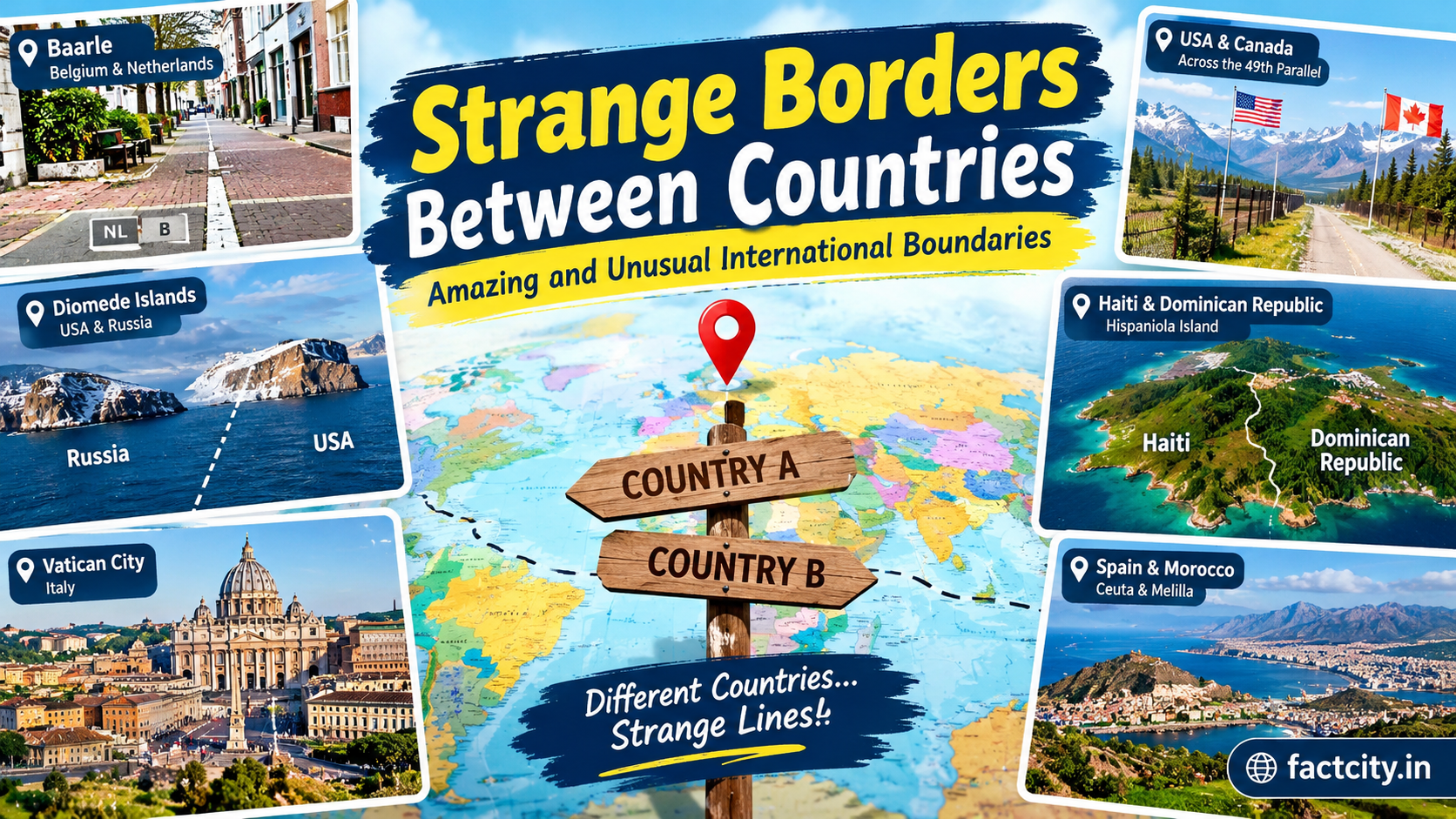
Strange Borders Between Countries: The world is divided into different countries, each with its own government, culture, traditions, and laws. The lines separating these countries are called international borders. Some borders follow natural features such as rivers, mountains, and oceans, while others were created through historical agreements, political decisions, or conflicts. Although many international boundaries appear simple on a map, some are surprisingly unusual. From houses built across two countries to villages surrounded by foreign territory, the world is full of fascinating geographical surprises.
These strange borders between countries attract the attention of travelers, geographers, and curious readers because they show how complicated the world’s political map can be. Some boundaries pass directly through buildings, while others divide communities that share the same language, culture, and family connections. Exploring these unusual borders helps us understand how history and geography have shaped the modern world.
1. Baarle: A Town Divided Between Belgium and the Netherlands
One of the most unusual international borders in the world can be found in Baarle, a small area shared by Belgium and the Netherlands. The Belgian part is known as Baarle-Hertog, while the Dutch part is called Baarle-Nassau. Instead of following one clear line, the border creates a complicated pattern of small sections of territory, known as enclaves. Strange Borders Between Countries
Some Belgian territories are completely surrounded by the Netherlands, and certain Dutch areas are located within Belgian territory. As a result, the international boundary sometimes runs through streets, gardens, shops, and even buildings. Small markers on the ground help visitors identify where one country ends and the other begins. In some buildings, the national border can affect which country’s rules apply. The relevant jurisdiction may depend on the precise location of an entrance or the part of a property involved. This unusual arrangement developed through historical land agreements and ownership rights that continued for centuries. Today, Baarle is a fascinating example of how complicated borders can become when history and geography interact.
2. The United States and Canada: A Remarkably Straight Border
The border between the United States and Canada is one of the longest international boundaries in the world. Much of it follows the 49th parallel, which is a line of latitude used to define a significant portion of the boundary between the two countries. In certain areas, the border appears unusually straight on maps because surveyors established a clear line across forests, fields, and other landscapes. Some sections have been cleared to make the boundary easier to identify from the ground.
Despite its simple appearance, the border passes through diverse environments, including mountains, lakes, forests, and towns. Communities near the boundary often have close economic and cultural connections, and people cross between the two countries for work, shopping, education, and tourism. This border demonstrates that international boundaries do not always need to follow rivers or mountain ranges. Sometimes, a carefully surveyed geographical line becomes the defining feature separating two nations.
3. India and Bangladesh: A Border Shaped by History
The border between India and Bangladesh has a complex history connected to the partition of British India in 1947. The division created East Pakistan, which later became the independent country of Bangladesh in 1971. Historical land arrangements left some territories belonging to one country surrounded by the other. These areas, known as enclaves, created practical difficulties for residents. Access to schools, healthcare, transportation, and government services could become complicated when people lived in territory surrounded by another country.
For many years, the existence of these enclaves made the India-Bangladesh boundary particularly unusual. In 2015, the two countries implemented a landmark land boundary agreement that exchanged numerous enclaves and helped resolve longstanding territorial problems. The agreement significantly simplified the border and improved the situation for many residents. This example shows how diplomatic cooperation can transform even the most complicated international boundaries and make everyday life easier for people living near them.
4. The Island of Hispaniola: Haiti and the Dominican Republic
The Caribbean island of Hispaniola is home to two independent countries: Haiti and the Dominican Republic. Although both nations occupy the same island, they have distinct histories, languages, political systems, and cultural traditions. Haiti occupies the western portion of the island, while the Dominican Republic occupies the eastern portion. The international boundary separates the two countries across a landscape that includes mountains, rivers, agricultural areas, and settlements.
The border is particularly interesting because the two nations share a relatively small geographical space while having developed different environmental policies and land-use patterns. In some locations, differences in forest cover can be visible near the boundary, although these patterns are influenced by several factors, including agriculture, rainfall, economic conditions, and conservation practices. The Hispaniola border reminds us that neighboring countries can share the same island and natural resources while following different approaches to development and environmental protection.
5. The Diomede Islands: Two Countries Separated by a Short Distance
The Diomede Islands lie in the Bering Strait between Alaska in the United States and Russia. Big Diomede belongs to Russia, while Little Diomede belongs to the United States. The islands are separated by only a few kilometres of water. What makes this location particularly fascinating is the International Date Line, which runs between the islands. Because of this geographical arrangement, the two islands can have different calendar dates despite being relatively close to one another.
The area is often associated with the informal expressions “Yesterday Island” and “Tomorrow Island.” These names reflect the unusual time difference created by the International Date Line, rather than a difference in the physical movement of time. Although the islands are geographically close, the international boundary and the harsh Arctic environment make travel between them complicated. The Diomede Islands provide a remarkable example of how political borders and global timekeeping can create surprising geographical situations.
6. Spain and Morocco: A European Border in North Africa
Spain and Morocco share an unusual geographical relationship because Spain has territories located on the northern coast of Africa. Two of the best-known examples are Ceuta and Melilla, which are Spanish autonomous cities surrounded by Moroccan territory on their landward sides. These locations have borders that separate Spanish-administered territory from Morocco. They are particularly significant because they connect questions of geography, migration, trade, security, and international relations.
Unlike many European borders, these boundaries are located on the African continent. Their position makes them distinctive features of the political map and important crossing points between different regions. The borders around Ceuta and Melilla demonstrate that a country’s territory does not always consist of one continuous landmass. Historical developments can leave countries with territories located far from their main national territory.
7. The Vatican City and Italy: A Tiny Country Within Rome
Vatican City is the world’s smallest independent state by area. Located entirely within Rome, Italy, it covers approximately 0.49 square kilometres. Despite its small size, Vatican City has its own government, legal system, and institutions. The international border surrounding Vatican City is very different from the remote boundaries found in deserts or mountain ranges. Instead, it exists within a busy urban environment, where historic buildings, streets, and public spaces are located close to one another.
St. Peter’s Basilica and St. Peter’s Square are among the most recognizable landmarks associated with the Vatican. The country’s small size makes its boundary especially interesting to visitors who may move between Italian territory and Vatican territory during a single visit. Vatican City shows that an independent country does not need to cover a large area to have international significance. Its religious, cultural, and historical importance extends far beyond its physical borders.
8. Germany, the Netherlands, and Belgium: Borders That Shape Daily Life
In parts of western Europe, the borders between Germany, the Netherlands, and Belgium pass through regions where communities have maintained close connections for generations. Residents may live near one border, work across another, and visit neighboring countries regularly. The Schengen Area allows many people to cross participating European countries’ internal borders without routine passport checks at those borders. However, this arrangement does not eliminate the international boundaries themselves, and temporary controls can sometimes be introduced.
These borders are particularly interesting because they illustrate how international boundaries can remain politically important while becoming less noticeable in everyday life. Road signs, language differences, public services, and local administrative rules may still remind residents that they are moving between different countries. The experience of these border regions highlights the importance of cooperation between neighboring nations.
Why Are Some International Borders So Strange?
Unusual international borders usually develop because of a combination of historical, political, and geographical circumstances. Wars, treaties, royal marriages, land purchases, colonial decisions, and changes in national independence have all influenced the boundaries we see today.
In some cases, borders were drawn without fully considering how they would affect local communities. In others, centuries of land ownership created complicated territorial arrangements that were difficult to simplify. Natural features such as rivers and mountains can also change over time, sometimes creating disagreements about the exact location of a boundary. Modern governments often work together to clarify these boundaries, improve border crossings, and resolve territorial disputes peacefully. International agreements can help residents access essential services while allowing countries to maintain their sovereignty. psychology-facts-about-the-human-mind
Conclusion
Strange borders between countries reveal that the world’s political map is much more complicated than it first appears. From the unusual enclaves of Baarle and the historical India-Bangladesh boundary to the Diomede Islands and tiny Vatican City, each location tells a unique story about geography, history, and international relations.
These unusual boundaries are not simply lines on a map. They influence how people travel, work, trade, and interact with neighboring communities. Some borders create practical challenges, while others have become interesting attractions for visitors from around the world.