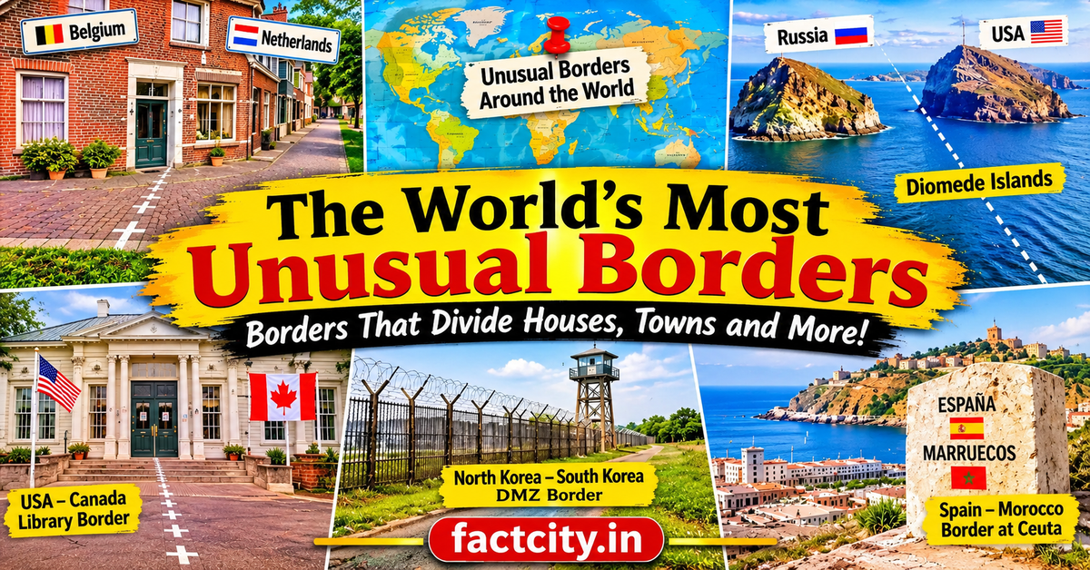
When we think about international borders, we usually imagine long fences, security checkpoints, rivers, mountains, or lines drawn on a map. Borders are meant to separate countries and define where one nation’s territory ends and another begins. However, not every international border follows a simple or ordinary pattern. Some pass directly through houses, divide small villages, run through buildings, or create unusual geographical situations that are difficult to imagine. Around the world, there are borders that look so strange that they almost seem impossible.
The world’s most unusual borders are often the result of historical agreements, old treaties, wars, political decisions, and geographical changes. Some were created hundreds of years ago, while others developed through complicated negotiations between neighbouring countries. These borders are not just interesting lines on maps. They have influenced the daily lives of local communities, affected international travel, and created some of the most fascinating geographical situations on Earth.
From a border that runs through a living room to a town divided between two countries, here are some of the world’s most unusual borders that show how complicated and surprising international geography can be.
1. The Belgium-Netherlands Border That Runs Through Houses
One of the strangest international borders in the world can be found in the small towns of Baarle-Hertog and Baarle-Nassau, located between Belgium and the Netherlands. This area is famous because the border does not follow a simple line. Instead, it creates a complicated collection of small Belgian territories surrounded by Dutch land. World’s Most Unusual Borders
Some of these Belgian areas are so small that they include only a few buildings or parts of streets. In certain places, the international border passes directly through houses, shops, restaurants, and other buildings. This means that a single property can technically belong to two different countries.
The border is marked on roads and pavements using special white crosses and metal markers. In some buildings, the location of the front door determines which country the property officially belongs to. This unusual arrangement developed through historical land agreements that continued for centuries.
Today, Baarle is a peaceful example of how complicated international borders can become. Visitors regularly travel to this area to see how two countries can exist together in such an unusual geographical arrangement.
2. The India-Bangladesh Border and Its Former Enclaves
The India-Bangladesh border was once home to one of the most complicated territorial arrangements in modern history. For many years, the region contained hundreds of small pieces of land belonging to one country but completely surrounded by the territory of the other.
These areas were known as enclaves. Some Indian villages were surrounded by Bangladesh, while certain Bangladeshi territories were located inside India. The situation became even more complicated because some enclaves contained smaller enclaves belonging to the opposite country.
For people living in these areas, everyday activities could become extremely difficult. Accessing schools, hospitals, government offices, and other public services was challenging because reaching the main territory of their own country sometimes required crossing foreign land.
The problem was largely resolved through the 2015 India-Bangladesh Land Boundary Agreement, under which the two countries exchanged enclaves and allowed residents to choose their nationality according to the agreement’s arrangements.
This historic development transformed the lives of thousands of people and simplified one of the world’s most unusual international border systems.
3. The Diomede Islands: Two Countries Separated by a Short Distance
The Diomede Islands are among the most fascinating geographical locations in the world. These two rocky islands sit in the Bering Strait between Alaska and Russia. Although they are separated by only about 3.8 kilometres of water, they belong to two different countries.
The western island, known as Big Diomede, belongs to Russia, while Little Diomede belongs to the United States. What makes this location even more unusual is that the International Date Line passes between the two islands.
Because of this, the islands have a time difference of approximately 21 hours, depending on the season and daylight-saving arrangements. This creates the interesting situation in which two neighbouring islands can experience different calendar dates.
Little Diomede has a small community, while Big Diomede is largely uninhabited and has a Russian military presence. During winter, sea ice can sometimes form between the islands, making the geographical distance appear even smaller.
Despite their close location, crossing between the two islands is not a simple journey because they belong to different countries and international travel restrictions apply.
4. The United States-Canada Border That Cuts Through a Library
Imagine entering a library and discovering that the international border between two countries runs directly through the building. This unusual situation exists at the Haskell Free Library and Opera House, located between Derby Line in the United States and Stanstead in Canada.
The building was deliberately constructed across the international boundary. As a result, visitors can find themselves standing in two countries without leaving the same building.
A black line on the floor marks the international border and helps visitors understand where one country ends and the other begins. The library also contains a reading room and an opera house, making it an important cultural location for communities on both sides.
The building was created to serve residents of both countries and remains a symbol of friendship and cooperation between neighbouring communities.
Although its location makes it a fascinating tourist attraction, visitors must follow the applicable border and security rules. The Haskell Free Library is a remarkable reminder that international boundaries do not always exist in open fields or along roads. Sometimes, they can pass through places where people gather to read, learn, and enjoy cultural activities.
5. The Spain-Morocco Border at Ceuta
One of the most unusual international borders in the world can be found between Spain and Morocco. While Spain is located in Europe, it also controls two autonomous cities on the northern coast of Africa: Ceuta and Melilla.
Ceuta is particularly interesting because it is geographically surrounded by Moroccan territory on its landward side, while the Mediterranean Sea lies nearby. Despite its location in Africa, it is part of Spain and therefore belongs to the European Union.
The land border between Ceuta and Morocco is heavily controlled. Security fences, checkpoints, and border facilities separate the two territories. This border has become especially important because of migration, international security, and political relations between Spain and Morocco.
The location creates an unusual geographical situation in which European territory exists directly on the African continent. It also demonstrates how historical events and political agreements can shape the borders that exist today.
Ceuta is not an ordinary border town. It represents a unique connection between Europe and Africa and remains one of the most interesting examples of international geography.
6. The Austria-Germany Border at Lake Constance
Lake Constance, also known as Bodensee, is one of Europe’s most beautiful lakes. It is located where Germany, Austria, and Switzerland meet. Although the surrounding countries have clearly defined land borders, the exact division of certain parts of the lake has historically been disputed.
Unlike many international lakes, where neighbouring countries have agreed on precise boundaries, the legal status of some areas of Lake Constance has remained complicated. Germany, Austria, and Switzerland have different interpretations of how territorial rights should apply to certain parts of the water.
This situation is especially interesting because the lake is used for fishing, transportation, tourism, and other activities. People regularly travel across its waters without necessarily noticing the complicated legal arrangements beneath them.
The lake demonstrates that international borders can become difficult to define when natural geographical features are shared by several countries. A simple-looking body of water can create complicated questions about ownership, access, and national jurisdiction.
7. The Border Between North Korea and South Korea
The border between North Korea and South Korea is among the most heavily guarded and politically sensitive boundaries in the world. It is commonly associated with the Korean Demilitarized Zone, or DMZ, which separates the two countries.
The division developed after the Korean War, which ended in 1953 with an armistice agreement rather than a formal peace treaty. The DMZ stretches approximately 250 kilometres across the Korean Peninsula and is about four kilometres wide.
Despite its name, the area is not completely free of military activity. It is surrounded by military installations, fences, observation posts, and security measures. Both countries maintain strong military forces near the boundary.
One of the most unusual locations along this border is the Joint Security Area at Panmunjom. This is where representatives from North Korea and South Korea have historically held meetings and discussions.
The border is unusual because it represents more than a geographical division. It reflects decades of political tension, military confrontation, and separation between people who share a common history and cultural background.
8. The Norway-Sweden Border That Follows Natural Landscapes
The border between Norway and Sweden is one of the longest international boundaries in Europe. Unlike heavily guarded borders in other parts of the world, much of this boundary passes through forests, mountains, lakes, and remote natural landscapes.
In many places, there are no large fences or visible barriers separating the two countries. Instead, the border is marked through boundary stones, signs, and carefully maintained lines through the wilderness.
One particularly interesting feature is the way the border passes through remote forest areas where animals and wildlife can move freely between the countries. In some locations, people hiking or exploring the countryside may cross from one country into another without noticing a dramatic geographical change.
The border also has historical importance because Norway and Sweden were once joined in a political union that ended peacefully in 1905.
Today, the two countries maintain friendly relations and cooperate on many issues. Their border shows that international boundaries do not always need enormous fences or complicated security systems.
9. The Russia-North Korea Border: A Meeting of Three Countries
The Russia-North Korea border is one of the shortest international land borders in the world, measuring approximately 17 kilometres. Although it is relatively small, its geographical location makes it extremely interesting.
The border follows the Tumen River, which also forms part of the boundary between China and North Korea. Near the river’s mouth, the territories of Russia, North Korea, and China come very close to one another.
One of the most recognisable features of this border is the Friendship Bridge, which connects Russia and North Korea by rail. The bridge plays an important role in transportation and trade between the two countries.
What makes this border particularly unusual is its location in a region where three countries meet within a relatively small geographical area. It is also strategically important because Russia and North Korea share political, economic, and transportation interests.
Despite its short length, this border has a significant role in regional relations and international connectivity.
10. The Botswana-Zambia Border: One of the Shortest Borders in the World
The border between Botswana and Zambia is famous for being extremely short. It is often described as one of the shortest international land boundaries in the world, measuring only a few hundred metres.
This unusual border exists near the meeting point of the Chobe and Zambezi rivers. The geographical area is particularly interesting because Botswana, Zambia, Namibia, and Zimbabwe are all located close to one another.
For many years, the precise meeting point of these countries was the subject of geographical discussion. The construction of the Kazungula Bridge has made transportation between Botswana and Zambia much easier and strengthened regional connections.
The bridge crosses the Zambezi River and provides an important route for trade, tourism, and travel. It has also reduced the need for traditional ferry transportation in this area.
This border is a fascinating example of how a very small geographical boundary can have considerable importance for international transportation and economic development.
Why Are Some International Borders So Unusual?
International borders are not always created according to geographical convenience. Many of them developed through historical agreements, royal land divisions, colonial decisions, wars, and political negotiations. In some cases, countries inherited complicated boundaries from earlier kingdoms or colonial administrations. countries-with-the-most-natural-lakes-in-the-world
Natural features can also make borders unusual. Rivers may change their courses, lakes may be shared by several countries, and mountains can create difficult geographical boundaries. Over time, these natural and political factors can produce situations that seem confusing when viewed on a map.
Another important reason is the history of local communities. Some villages and towns existed long before modern countries established their current borders. When political boundaries changed, people sometimes found themselves living in territories belonging to different nations without moving from their original homes.
Conclusion
The world’s most unusual borders reveal just how fascinating international geography can be. From houses divided between Belgium and the Netherlands to islands separated by different calendar dates, these locations demonstrate that borders are much more than simple lines on a map.
Some boundaries were created through historical agreements, while others developed because of political changes and geographical conditions. They have influenced communities, transportation, trade, and international relationships for generations.
What makes these borders truly interesting is the way they affect everyday life. A person may live in a house divided between two countries, visit a library that stands on an international boundary, or look across a narrow stretch of water and see another nation with a completely different date.