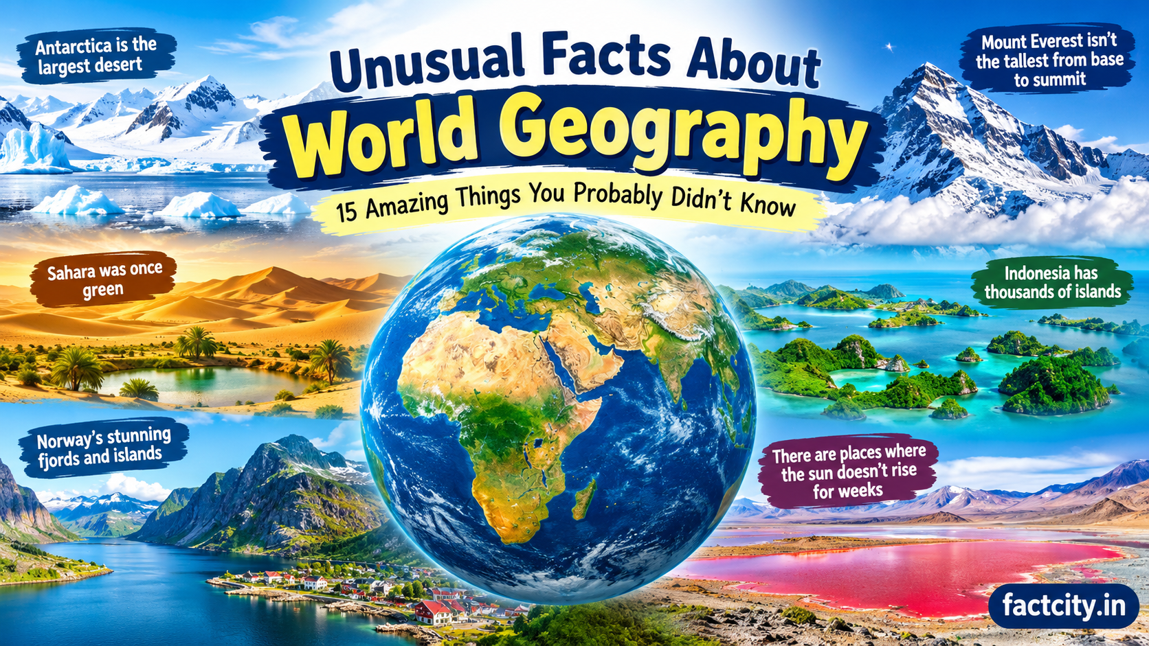
Unusual Facts About World Geography: The world is full of geographical wonders that are far more unusual than they first appear. From countries with strange borders to lakes that change color, deserts covered in snow, and places where two oceans meet, our planet is filled with fascinating features that make geography an exciting subject to explore. Many of these facts sound unbelievable, yet they are connected to real mountains, rivers, islands, and natural processes. Learning about unusual facts about world geography helps us understand how the Earth was formed, how landscapes change over time, and why different regions have such unique environments. Whether you enjoy learning about different countries or simply want to discover something new about our planet, these geographical facts will give you a fresh perspective on the world around you.
1. Russia Is Larger Than Pluto
One of the most surprising facts about world geography is the enormous size of Russia. Covering approximately 17.1 million square kilometers, Russia is the largest country on Earth by land area. It stretches across Eastern Europe and northern Asia, covering eleven time zones and a wide variety of landscapes. Its territory includes frozen Arctic regions, dense forests, enormous plains, and mountain ranges. Interestingly, Russia’s total land area is greater than the surface area of Pluto, which is approximately 16.6 million square kilometers. This comparison shows just how large the world’s biggest country really is. Traveling across Russia can take several days by train, and its eastern and western regions experience very different local times and weather conditions. Unusual Facts About World Geography
2. The Sahara Desert Was Once Much Greener
Today, the Sahara is famous for its vast sand dunes, extreme temperatures, and dry climate. However, thousands of years ago, large parts of this enormous desert supported grasslands, lakes, rivers, and wildlife. During a period known as the African Humid Period, the region received significantly more rainfall than it does today. People lived around lakes, hunted animals, and created rock art showing creatures such as giraffes and cattle. Scientists study ancient lake sediments, fossils, and rock paintings to understand this remarkable environmental change. Changes in Earth’s orbit influenced seasonal sunlight and rainfall patterns, helping transform the region over time. The Sahara’s history reminds us that even the largest deserts can experience dramatic changes in climate and landscape.
3. Canada Has More Lakes Than Any Other Country
Canada is famous for its forests, mountains, and cold winters, but one of its most remarkable geographical features is its enormous number of lakes. The country contains an estimated two million or more lakes, depending on how they are counted, and many of them were shaped by glaciers during the last ice age. These lakes range from small freshwater pools to enormous bodies of water such as Great Bear Lake and Great Slave Lake. Canada’s lakes provide habitats for fish, birds, and other wildlife while supporting local communities and outdoor activities. The country also shares several Great Lakes with the United States. Its abundance of freshwater makes Canada one of the world’s most important regions for natural lake systems.
4. There Is a Place Where Four Countries Almost Meet
Southern Africa contains an unusual geographical area near the borders of Botswana, Namibia, Zambia, and Zimbabwe. The region around Kazungula is often described as the place where four countries nearly meet. However, it is not generally considered a single point where all four national borders touch. Instead, the borders form a complicated arrangement around the Zambezi and Chobe rivers, with Botswana and Zambia meeting across a very short stretch of river. The Kazungula Bridge connects Botswana and Zambia and provides an important transportation route for trade and travel. This unusual border arrangement demonstrates that national boundaries do not always follow simple lines on a map. Rivers, historical agreements, and political decisions can make international borders surprisingly complicated.
5. The Dead Sea Is One of the Lowest Places on Land
The Dead Sea, located between Jordan and Israel and the West Bank, is one of the most unusual bodies of water on Earth. Its shoreline lies more than 400 meters below mean sea level, making it the lowest exposed land elevation on the planet. The lake is also extremely salty because water flows into it from the Jordan River and surrounding areas, but there is no natural outlet to the ocean. Much of the incoming water is lost through evaporation, leaving dissolved minerals behind. Its high salt concentration makes floating easier than in ordinary freshwater lakes, although the water should never be swallowed or allowed to enter the eyes. The Dead Sea’s water level has declined significantly in recent decades because of water diversion and other environmental pressures.
6. Antarctica Is the Largest Desert in the World
When people hear the word desert, they usually imagine golden sand dunes and scorching temperatures. However, geography defines a desert mainly by its lack of precipitation, not by how hot it is. Antarctica is therefore the world’s largest desert, covering approximately 14 million square kilometers. Most of the continent is covered by thick ice, and some inland areas receive very little snowfall each year. Despite its frozen appearance, Antarctica is extremely dry, with strong winds and harsh environmental conditions. The Sahara is the world’s largest hot desert, but Antarctica is larger overall. This surprising fact shows why understanding geographical definitions is important. A place can be covered in ice and still qualify as a desert.
7. Africa Is the Only Continent Located in All Four Hemispheres
Africa is crossed by both the Equator and the Prime Meridian, which divide the Earth into the Northern, Southern, Eastern, and Western Hemispheres. Because these imaginary lines pass through the continent, Africa has land in all four hemispheres. This geographical position contributes to its extraordinary range of environments, from tropical rainforests and grasslands to deserts and Mediterranean-style coastal regions. The continent also contains the Sahara, the Nile River, Mount Kilimanjaro, and the Great Rift Valley. Its location across the Equator means that the seasons in northern and southern Africa can occur at opposite times of the year. Africa’s position makes it a particularly interesting place to study climate, ecosystems, and the global coordinate system.
8. Indonesia Is Made Up of Thousands of Islands
Indonesia is one of the world’s largest archipelagic countries, consisting of thousands of islands spread across Southeast Asia and the western Pacific region. The country officially recognizes more than 17,000 islands, although the number of islands counted can vary depending on surveying methods and definitions. Some islands are densely populated, while others are covered in forests and have very few residents. Indonesia is also located along the Pacific Ring of Fire, a region known for frequent earthquakes and volcanic activity. Its islands support remarkable biodiversity, including species found nowhere else in the wild. Because communities are separated by water, Indonesia has developed a rich variety of regional languages, traditions, foods, and cultural practices.
9. Mount Everest Is Not the Tallest Mountain From Base to Summit
Mount Everest is widely known as the highest mountain in the world above mean sea level, reaching approximately 8,849 meters. However, the answer changes when height is measured differently. Mauna Kea in Hawaii rises more than 10,000 meters from its underwater base to its summit, although much of the mountain lies beneath the Pacific Ocean. If mountain height is measured from Earth’s center rather than sea level, the summit of Mount Chimborazo in Ecuador is farther from the planet’s center than Everest’s summit. This happens because Earth is slightly wider around the Equator than near the poles. These comparisons demonstrate that geographical measurements depend on the reference point used, and different definitions can produce different answers.
10. The Nile and Amazon Rivers Compete for the Title of Longest River
The Nile River has traditionally been described as the longest river in the world, stretching through northeastern Africa toward the Mediterranean Sea. The Amazon River in South America is often considered the world’s largest river by water discharge, carrying far more water than any other river. However, some researchers and geographical sources argue that the Amazon may be longer than the Nile, depending on which source and river route are measured. Determining a river’s exact length is difficult because rivers have multiple tributaries, changing channels, and sometimes disputed starting points. Despite this debate, both rivers have played essential roles in human history. They support agriculture, transportation, wildlife, and communities across enormous regions of the world.
11. There Is a Place in Chile Where Rain Is Extremely Rare
The Atacama Desert in northern Chile is considered one of the driest nonpolar deserts on Earth. Some weather stations in the region have recorded extremely little rainfall over long periods, and certain areas can remain dry for years. Its unusual dryness is caused by several geographical factors, including the cold Humboldt Current along the Pacific coast, the rain-shadow effect of the Andes Mountains, and atmospheric circulation patterns that limit moisture. The landscape includes salt flats, rocky valleys, and areas that resemble the surface of Mars. Scientists have studied the Atacama because its extremely dry soil provides useful insights into the limits of life in harsh environments. The desert is also an excellent location for astronomical observatories because of its clear skies and low humidity.
12. Norway Has a Coastline Shaped by Thousands of Fjords and Islands
Norway’s coastline is famous for its dramatic fjords, steep cliffs, and countless islands. Fjords were created when glaciers carved deep valleys into the land and seawater later filled them. Some extend far inland, surrounded by towering mountains and waterfalls. Norway’s coastline is also exceptionally long when its many islands and inlets are included, although the exact measurement depends on the scale used to trace the coast. This is an example of the coastline paradox: the more closely a coastline is measured, the more small bends and features are included, increasing the calculated length. Norway’s geography has influenced fishing, shipping, tourism, and settlement for centuries, making its coastal landscape both beautiful and economically important.
13. The Equator Does Not Have the Same Climate Everywhere
The Equator is an imaginary line that circles the middle of the Earth, but locations along it do not all experience identical weather. Places such as the Amazon Basin and parts of Indonesia receive abundant rainfall and support dense tropical forests. In contrast, some equatorial regions experience different rainfall patterns because of ocean currents, local topography, and atmospheric circulation. Elevation also makes a significant difference. Quito, Ecuador, lies relatively close to the Equator but sits high in the Andes, giving it a much cooler climate than many lowland tropical cities. This shows that latitude alone cannot explain every climate pattern. Elevation, nearby oceans, prevailing winds, and mountain ranges all influence local temperatures and rainfall.
14. The Earth’s Largest Island Is Greenland
Greenland is the world’s largest island that is not classified as a continent. It covers approximately 2.16 million square kilometers and is geographically part of North America, although it is an autonomous territory within the Kingdom of Denmark. Much of Greenland is covered by an enormous ice sheet that contains a significant amount of the world’s freshwater stored in ice. Most of its population lives along the coastline, where conditions are more suitable for settlements. The island’s interior is largely uninhabited because of its thick ice cover and harsh climate. Greenland is also important to climate research because changes in its ice sheet contribute to global sea-level rise. Its vast size makes it one of the most distinctive features of the Arctic region. 20-inventions-that-changed-the-world
15. There Are Places Where the Sun Does Not Rise for Weeks
In regions inside the Arctic Circle and Antarctic Circle, the Sun can remain above the horizon or below it for extended periods. This phenomenon is known as the midnight sun during summer and polar night during winter. In northern Norway, parts of Alaska, and other Arctic locations, the Sun may remain visible at midnight for weeks or even months, depending on latitude. During winter, some of these places experience long periods without a sunrise. These conditions occur because Earth’s axis is tilted approximately 23.5 degrees relative to its orbital plane. As Earth travels around the Sun, polar regions receive dramatically different amounts of daylight throughout the year. These unusual daylight patterns influence local lifestyles, wildlife behavior, and seasonal activities.
Conclusion
These unusual facts about world geography reveal how extraordinary and diverse our planet really is. From Antarctica being the largest desert to Greenland’s enormous ice sheet, from the unusual borders of southern Africa to the changing landscapes of the Sahara, geography offers countless discoveries beyond what we see on an ordinary map. Even familiar places become more interesting when we understand the natural processes that shaped them. Mountains can be measured in different ways, rivers can compete for the title of longest, and locations near the Equator can experience surprisingly different climates. Exploring these geographical facts helps us appreciate Earth’s natural beauty and complexity while encouraging us to learn more about the countries, landscapes, and environments that make our world unique.